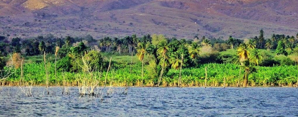
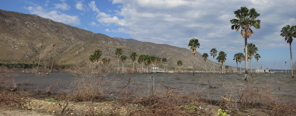
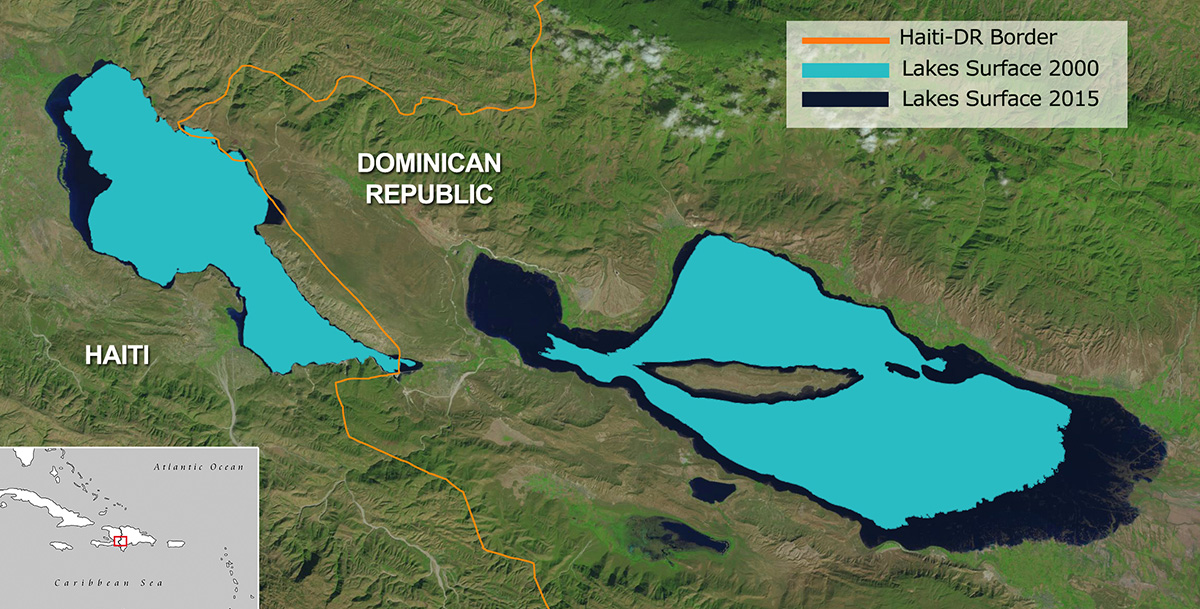
Welcome! This is the Hispaniola Lakes Project. The island of Hispaniola holds the two largest landlocked bodies of water in the Caribbean, Lakes Enriquillo and Azuei (also known as Lake Saumatre), with surface areas (as of March 2013) of approximately 350 km2 and 140 km2, respectively. These lakes are located in each of the two countries that share Hispaniola: the Dominican Republic (Enriquillo lake) and Haiti (Azuei). Since 2004, the lakes have experienced a rapid expansion in surface area causing major flooding to the surrounding agricultural and cattle-raising lands, infrastructure, and communities.
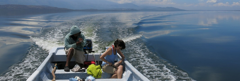
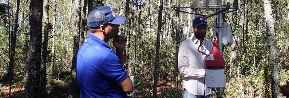
The main goal of this project is to understand why the lakes are expanding at such a rapid rate, so that we can accurately forecast how they will behave in the future. This information is crucial for sustaining local livelihoods and for informing decision makers on the best policy options to address this pressing problem. Also, we would like to share the lessons learned with the international community so the project can contribute to and benefit from knowledge gathered from similar situations worldwide. Numerous environmental factors may have contributed to the expansion of the lakes and a number of hypotheses have been proposed. One of the leading hypotheses being tested by this project is that a rise in temperature of the atmosphere and ocean surrounding the island of Hispaniola has resulted in an overall increase of moisture content in the region and a reduction of the evaporation capacity of the lakes, resulting in the observed increases in water levels. To this end, the international, multidisciplinary, and multi-institutional project team has placed various sensors around the lakes to measure in situ environmental variables, while remote sensing images (Landsat) are used to monitor the lakes’ surface area changes on a real time basis.These observations are complemented by regional hydro-climate modeling to understand past events and forecast future scenarios, as well as socio-economic surveys to understand the local impacts, perceptions and adaptations.The purpose of this website is to share our knowledge from this project with the scientific community and the general public. We encourage you to explore the site and contact us with any questions, comments, concerns or ideas. This is an on-going effort, so expect changes and additions to this website through time.
This project is an international collaboration between NOAA/CREST Center of The City College of New York, Instituto Tecnológico de Santo Domingo (INTEC) , Drexel University, Oficina Nacional de Meteorología de Republica Dominicana (ONAMET), and partially funded by the US National Science Foundation and the Ministerio de Educación Superior de la República Dominicana, Oficina de Ciencia y Tecnología.


